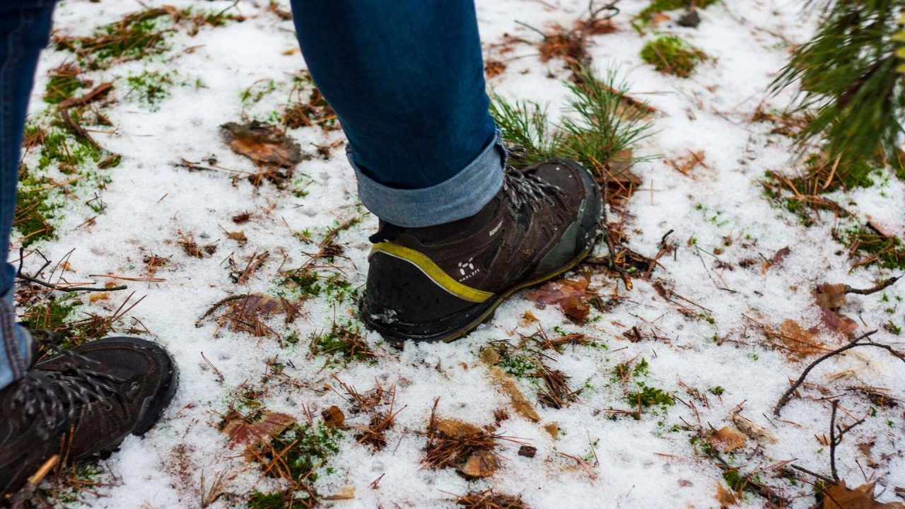
The trails of Monte Novegno, a plateau in the Vicentine Prealps in Veneto, are perfect for those who want to set out following the footsteps of the First World War.
The Great War, with its most tragic aspects, is well documented here by tunnels, positions, and trenches: history books and statistics tell us that 3,000 soldiers fell on this mountain.
But enough sadness: hiking the trails of Monte Novegno means remembering Italy’s bloody and dramatic history, but it’s also an opportunity to test your hiking skills at altitude..
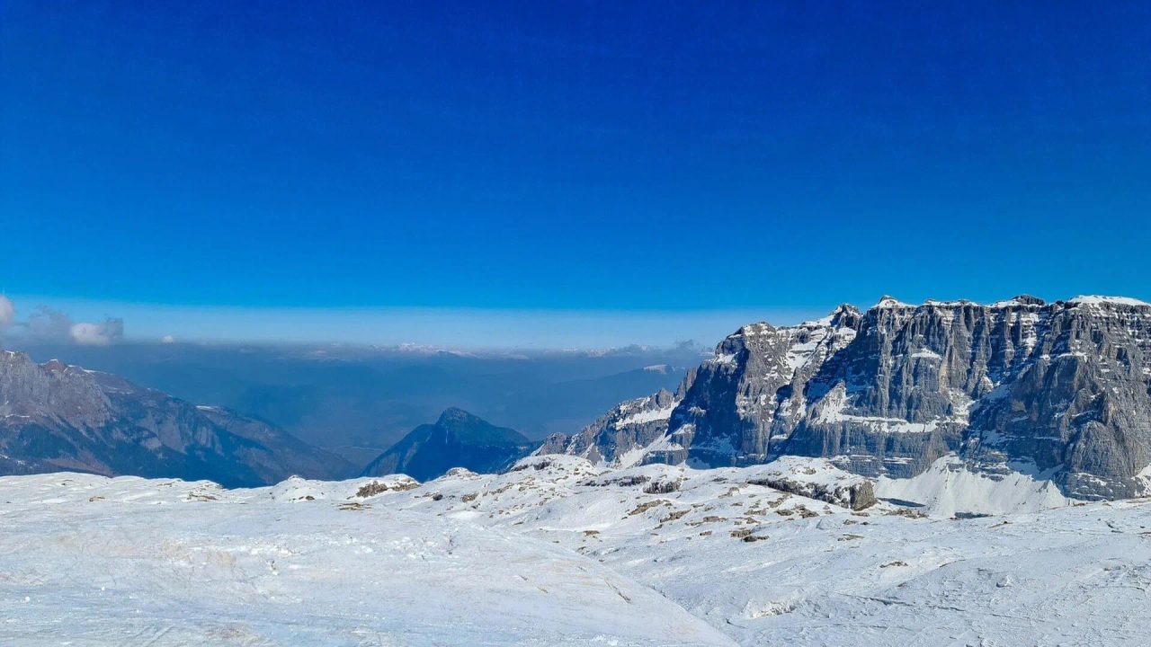
This mountainous area offers several trails and routes, gifting us with unspoiled nature and a spectacular panorama: from here you can admire the landscape of the Little Dolomites (including Sengio Alto, Cornetto, Carega, and Pasubio), which becomes even more breathtaking with the snow. It’s truly unmissable.
From Cerbaro Parking to Busa Novegno: Trails 422 and 433
Among the busiest hiking trails on Monte Novegno are those starting from Cerbaro Parking with an intermediate stop at Busa Novegno.
This is located at 900 meters elevation, near the campsite of the same name. We are in the Bosco di Tretto area, Santorso – Schio.

From this parking lot, you can ascend along the Road to Monte Novegno from Contrada Rossi and take the Trail 422,the most panoramic, which leads up to Monte Priaforà. It’s marked by a bench, also panoramic, giving you a preview of what awaits higher up.
Alternatively, you can take the Trail 433,which quickly takes you to the summit of Monte Novegno. This is the one we recommend if you don’t want detours or stops.
Trail 433 passes through the area of Casara Vecchia and, alternating between dirt and white roads and more wooded paths, is characterized by many curves. You can shorten the route by choosing narrower, steeper, and less secure paths: this is not recommended if you are inexperienced walkers or traveling with children.
For a stretch, Trail 433 also overlaps with the 435, until Passo Campedello.
[activecampaign form=22 css=1]
From Busa Novegno to Cima Priaforà
From Busa Novegno, you can follow Trail 400, which takes you on a circular route. After passing the cemetery, you should branch off onto Trail 455, which leads to Passo Campedello..
From Campedello, if you want to reach the summit of Priaforà (1,600 meters high), you need to take Trail 435. Priaforà is marked by a rather fascinating stone arch, theNatural Arch of Priaforà..
From this point, you continue on a mountain path with a significant elevation gain (it’s a CAI route) recommended only for experienced hikers. A rope will help you with this climb that leads to the summit, where you can rest and enjoy a nice packed lunch and take beautiful photos.
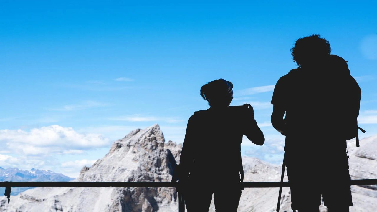
What’s at the summit of Monte Priaforà? From this mountain, you can see the entire surrounding area: the glaciers of Presena and Carè Alto, Pasubio, the Brenta Dolomites, the Asiago Plateau, Monte Summano, and the plain below.
On Monte Rivon and Cima Alta: Remembering the War
At this point, you can return to Busa Novegno and Passo Campedello. Two choices will present themselves.
Trails 400 and 401 lead to Monte Rivon and Monte Cogolo. Also, via Trail 400, you can head to the locality of Pozza Lunga.
Monte Rivon is reachable from the Pass after about 15 minutes of uphill walking. Here you can remember the Great War, as this plateau hosts a fort, trenches, and connected tunnels. It is reachable from the Pass after about a 15-minute uphill walk. Here you can remember the Great War, as this plateau is home to a fort, trenches, and tunnels connected to them.
Cima Alta is reachable from Passo Campedello. A quarter-hour walk and here too you will find testimonies of the world war in this region and its provinces. You will have the opportunity to do this with expert guides and in contact with the wonder of nature. It is reachable from Passo Campedello. A fifteen-minute walk and here too you will find evidence of the world war in this region and its provinces. You will have the opportunity to do so with expert guides and in close contact with the wonders of nature.