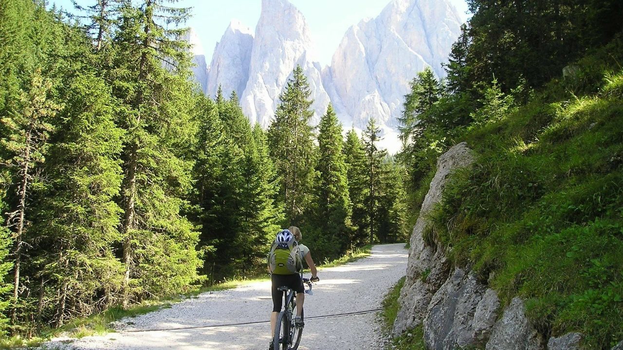
Bike Routes: Some Itineraries for Unforgettable Rides
The bike is one of the best ways to immerse yourself in pristine nature, to explore it and feel its essence. With this small, eco-friendly vehicle, you can reach places inaccessible to motorized vehicles and enjoy views few have seen. For this reason, we have gathered the best bike routes for you to take.
Within this article, you will find only one route per Italian region, starting from the north, and at the end of the article, a reference where you can search for more routes. This is because there are thousands of cycling itineraries in Italy, and listing them all would require calling Tom Cruise from one of his “Mission Impossible” movies.
Jokes aside, all you need is a bike, a strong desire to pedal, and, of course, to read this article.
Choose your bike routes and enjoy your ride!
Bike Routes in Piedmont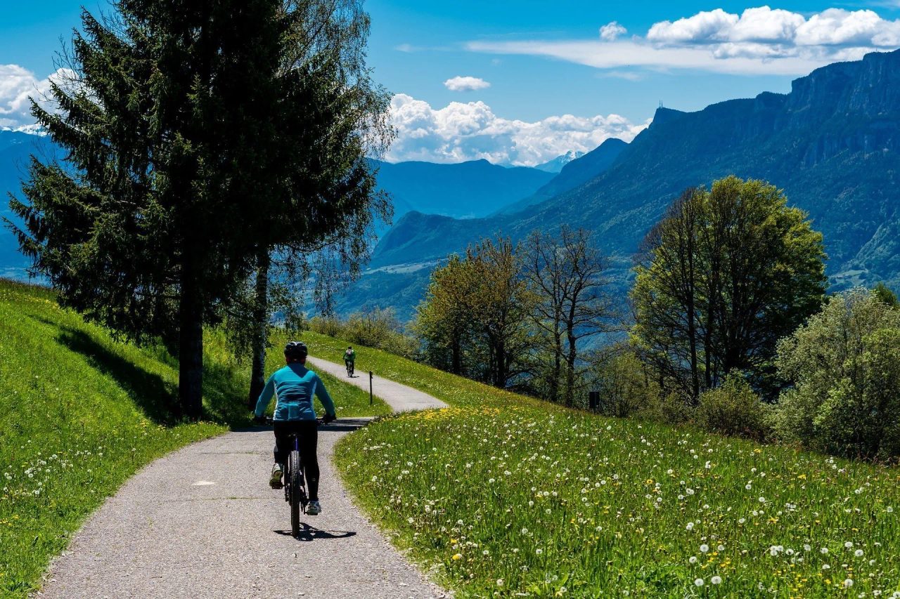
The bike itineraries to explore in Piedmont are among the most scenic thanks to the presence of the Alps. You can explore these majestic mountains, take short breaks in the valleys, or pedal along the hills where the Po River flows. Bringing a blanket to rest is a must.
You can pass by castles, abbeys and archaeological sites. If you don’t want to venture too far, urban itineraries are just as charming thanks to parks and long tree-lined avenues.
Whatever you choose, the important thing is to pedal and spend a day full of emotions and physical well-being. Let’s discover the itinerary you can do in Piedmont.
[activecampaign form=22 css=1]
Heading to the Po River and the Church of Gran Madre di Dio, Turin
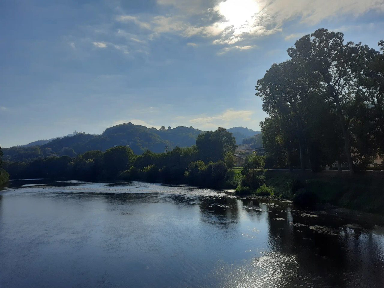 Chiaves Footbridge Photo by Yely, www.komoot.it
What are the points of interest on this itinerary?
-
Parco Valentino: the first place to cross is the park of the same name for about 4 kilometers. It is one of Turin’s green areas located in the San Salvario district. You can find bars to buy what you need or simply enjoy the many fountains inside the park. If you prefer not to cross the park, there is a road that runs alongside the green area. The choice is yours.
-
Church of Gran Madre di Dio: one of the most famous places in Turin, built in the 19th century. Legends say it is part of the .
-
The magnificent Piazza Vittorio at dawn: one of Turin’s historic squares, located in the eastern part of the city center along the Po River. The route is 4 kilometers long. Turin. The route lasts 4 kilometers.
-
Dirt road along the Po River: this stretch is just over 5 kilometers.
-
Chiaves Footbridge: a route just under 20 kilometers long, connecting two other routes on the two banks of the Po. You can enjoy excellent views of the river, the city of Turin and Superga, the basilica dedicated to the Madonna delle Grazie.
-
Basilica of Superga: a sanctuary dating back to the 1700s with a splendid view over Turin. Don’t miss the memorial to the “Grande Torino,” a monument built in memory of the entire football team that died in a plane crash at that very spot.
-
Monumental Fountain and View of the Hermitage: a nice paved road, lightly trafficked and fairly straight. It connects the Hermitage to the Maddalena hill.
-
Route along the banks of the Po River: a dirt path 43 kilometers long that runs along one bank of the Po River. At this point, you’ll be on the way back to Dante Station.
.
Bike Routes in Lombardy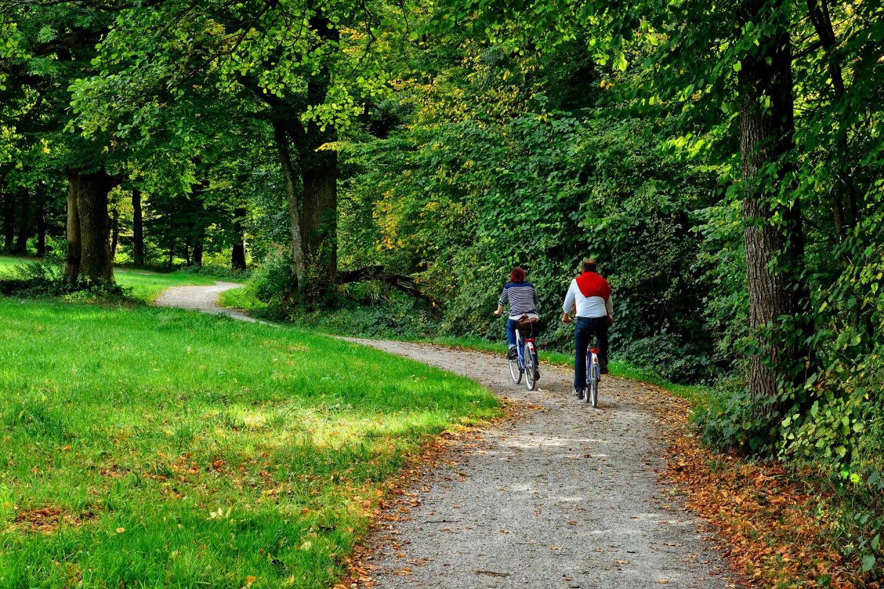
Cycling in Lombardy means passing from hi-tech neighborhoods to abandoned factories, from the grandeur of the Duomo to the Navigli canals. Riding bike routes in Lombardy gives you the chance to experience every aspect of this metropolis with nearly 1.4 million inhabitants. Currently, the network of bike paths extends for 200 kilometers and is expected to reach 750 kilometers by 2035. We from the offer you one.
Gaggiano Bridge – Bereguardo Canal
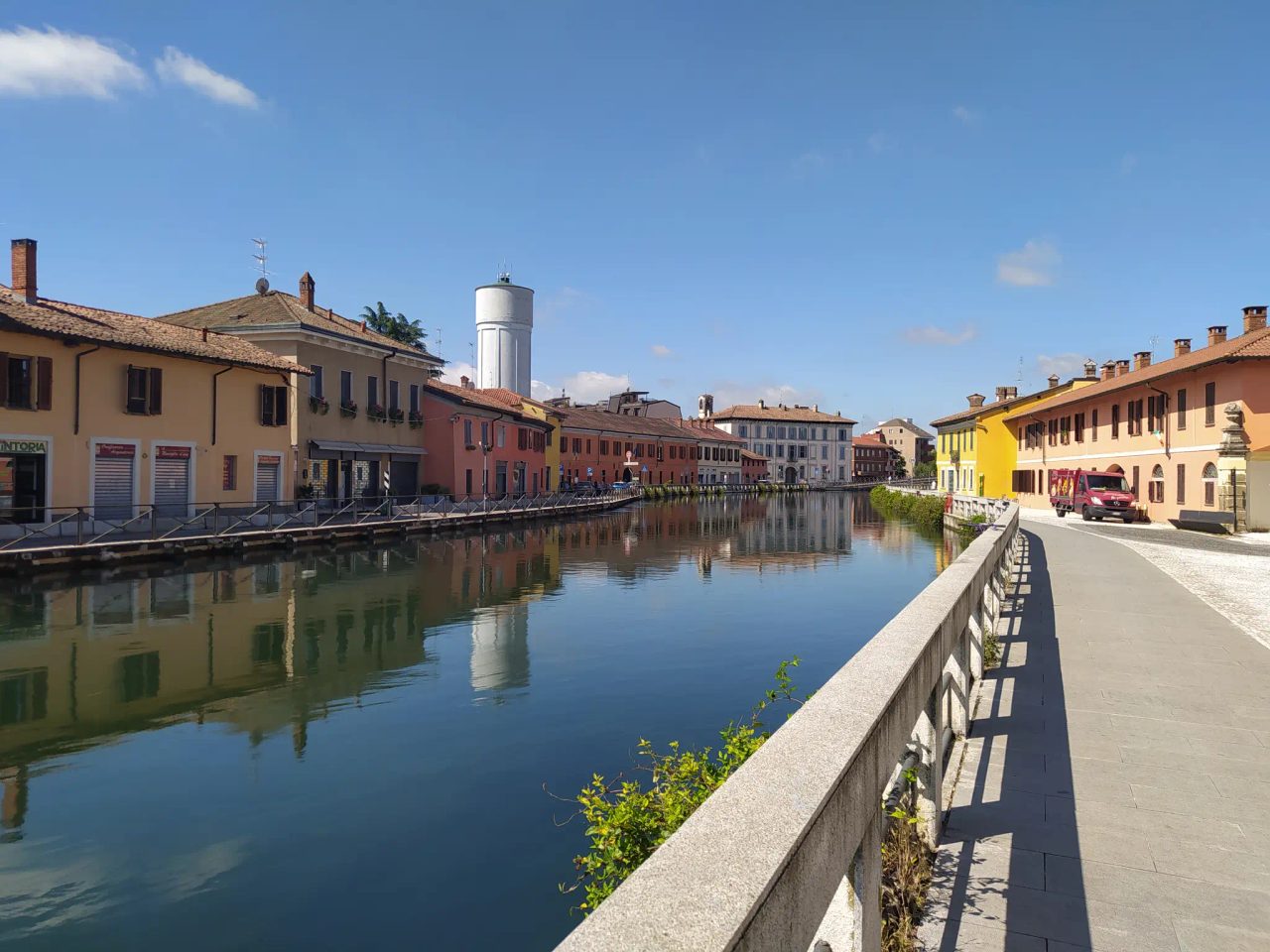 Gaggiano Bridge
This route starts at De Angeli Station, is 52 kilometers long, and takes about three hours: here are all the points of interest along the circuit.
-
Gaggiano: a 13-kilometer stretch crossing the Naviglio Grande. A great spot to rest from pedaling when needed and enjoy the beauty of the surroundings.
-
1st Gaggiano Bridge: 14 kilometers long and the main hub of the Navigli cycling network.
-
2nd Gaggiano Bridge: extends for 16 kilometers and is less characteristic than the first. However, it is the most important as it serves both cyclists, pedestrians, and cars. It is widely used to cross from one bank to the other of the Naviglio Grande.
-
View of snow-capped mountains in the distance along the Naviglio: route length 21 kilometers.
-
Bike path on the Alzaia Naviglio Grande: a road for bike lovers that can take you anywhere, even to Turin. If you are near Milan, this is a route to do at least once in your life, extending for 25 kilometers.
-
Bugo Bridge – Bereguardo Canal: a very scenic stretch, immersed in nature where you can rest, have a meal, and take some photos. The route is 26 kilometers long.
-
Bereguardo Canal: a stunning 47-kilometer bike path where you can pedal slowly, relax, and enjoy the evocative surrounding landscape. The clear waters of the Naviglio Grande add the final touch to the route.
-
Naviglio Grande: the last stretch of the bike route, leading to the center of Milan. No motor vehicles circulate here, but it is heavily frequented by pedestrians and other cyclists. For this reason, it does not allow high-speed cycling, making it a road to relax and enjoy your ride.

How to Find Cycling Buddies?
If there is no one willing to join you on your bike outing, , or the many available . They allow you to meet new people to make friends, share your passion for cycling, and help you discover all the bike routes in Lombardy.
Bike Itineraries, Veneto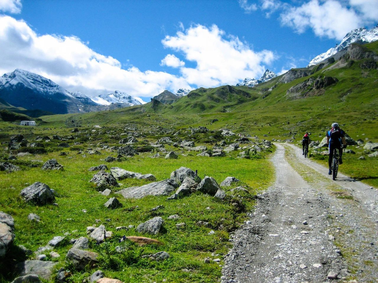
The bike routes in Veneto will lead you to discover a true earthly paradise loved by all cycle travelers. This is due to the presence of itineraries that stretch from the Adriatic Sea coast to the Alps, cutting through the territory and crossing all the nature present. In short, we are talking about rejuvenating rides for soul, body, and mind.
. Not to mention the beauty of bike routes along the shores of Lake Garda and ; then Venice, which allows cycling on the islands of its lagoon and visiting Burano and Murano.
From Peschiera del Garda to Festungsgraben Peschiera
It is a very easy route, suitable for everyone regardless of their fitness level.
-
Starting point: San Benedetto Centro bus station, reachable by public transport.
-
The walls of Peschiera del Garda: these walls once made Peschiera del Garda impenetrable to enemy incursions. This route runs alongside the walls for almost 3 kilometers.
-
Mincio River: a 3-kilometer nature trail along the river. Occasionally, you can spot hydrofoils and small boats navigating the waters.
-
Festungsgraben Peschiera: a route that lets you escape the sometimes overwhelming tourist flow of Peschiera to immerse yourself in nature. You might even surprise the glutei (a type of duck) diving underwater!
-
Mincio: a 14-kilometer route along the river. Following the bike path for about 15 kilometers, you can reach Borghetto, one of Italy’s most beautiful villages.
-
Mincio River: a 22.5-kilometer route, very scenic and panoramic. You’ll be tempted to stop and take photos thanks to the surrounding views.
-
Peschiera – Mantua Euro Velo 7 Bike Path: a wonderful, almost enchanted route that lets you pedal close to the Mincio River. Midway, there’s an open-air brewery where you can stop and relax. This stretch is 25 kilometers long.
-
Peschiera Port: the last part of this bike itinerary. It’s time to visit Peschiera del Garda. Have a coffee at one of its bars, admire the imposing walls surrounding the city, and stroll through the historic center’s squares.
Bike Routes in Bologna, Emilia Romagna: From Caselecchio Ceretolo, San Luca – Parco della Chiusa Itinerary
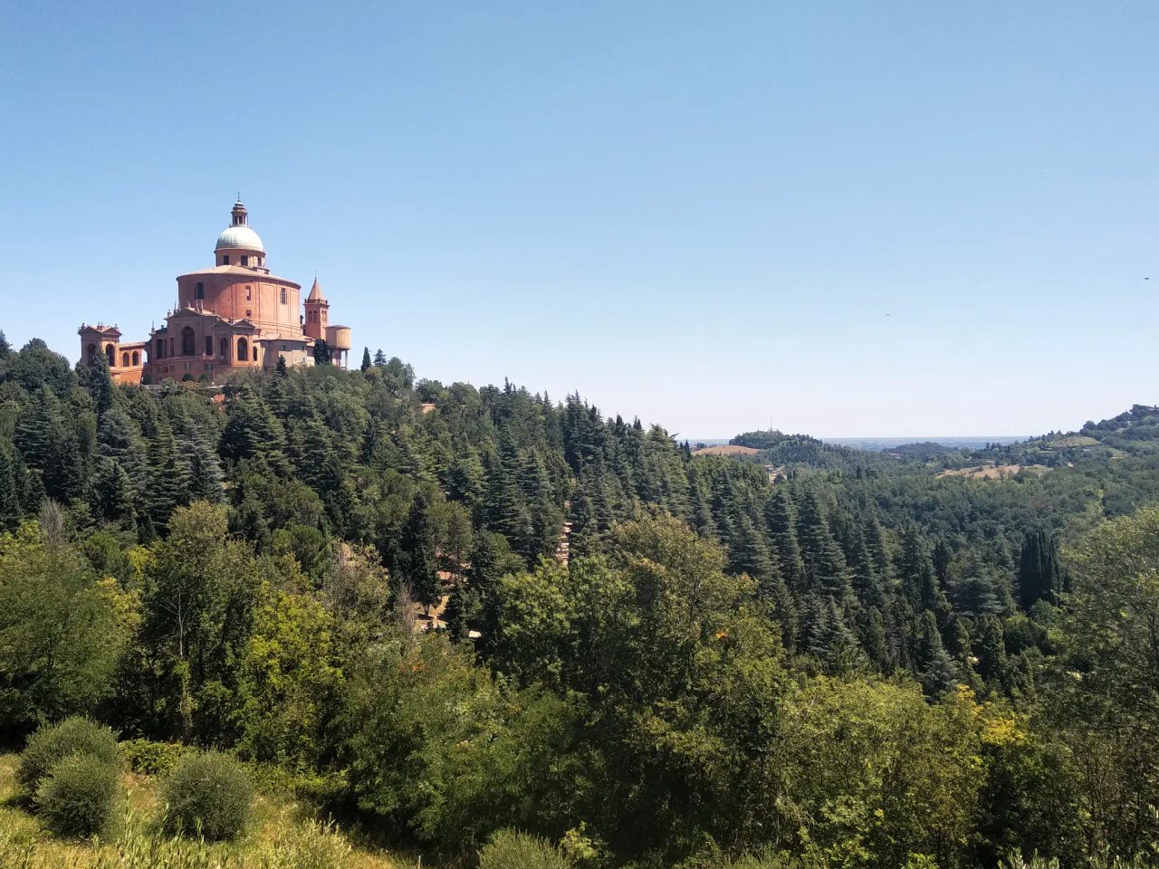 Sanctuary of San Luca, photo by Emanuele Giordani
If you’re looking for bike routes, this one might be the answer to your questions. It’s a route that takes about three hours at a moderate pace. Here are the most important checkpoints to reach.
Caselecchio Ceretolo Station: start of the route.
Bologna – Caselecchio di Reno Bike Path: a 5-kilometer traffic-free bike path, very peaceful. However, it’s not very wide and is frequented by children and elderly people. For obvious reasons, don’t ride too fast to avoid accidents.
Cycling and pedestrian path near the Certosa cemetery: a 6-kilometer path running alongside the mentioned cemetery. It’s a narrow road free of car traffic but fills with pedestrians on weekends.
San Luca Portico – Meloncello Arch: an 8-kilometer stretch. The San Luca portico starts from Porta Saragozza and reaches the church..
Imagine the hum of wheels on the road, the wind caressing and refreshing your face, all the surrounding nature, and your stop at one of the little restaurants along the way. These are the details that increasingly draw people to the world of cycling.
Also, and