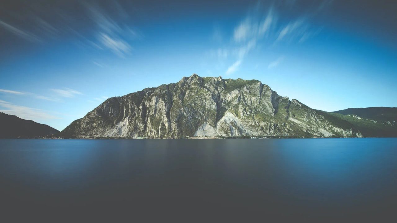
Anyone interested in trekking or hiking in Lombardy will be very familiar with Monte Barro. This is one of the gentlest peaks among the Lombard Prealps, but not only that. Monte Barro is also one of the first mountains you encounter when reaching Lake Como from the provinces of Monza and Milan.
This mountain, with its namesake park, is one of the most protected natural areas in the region. Lombardy.
The park contains 1,000 plant species within less than 700 hectares of territory, an incredibly interesting example of biodiversity in the region. Exploring this place means walking the trails of Monte Barro, and so we are here to help by revealing the best ones.
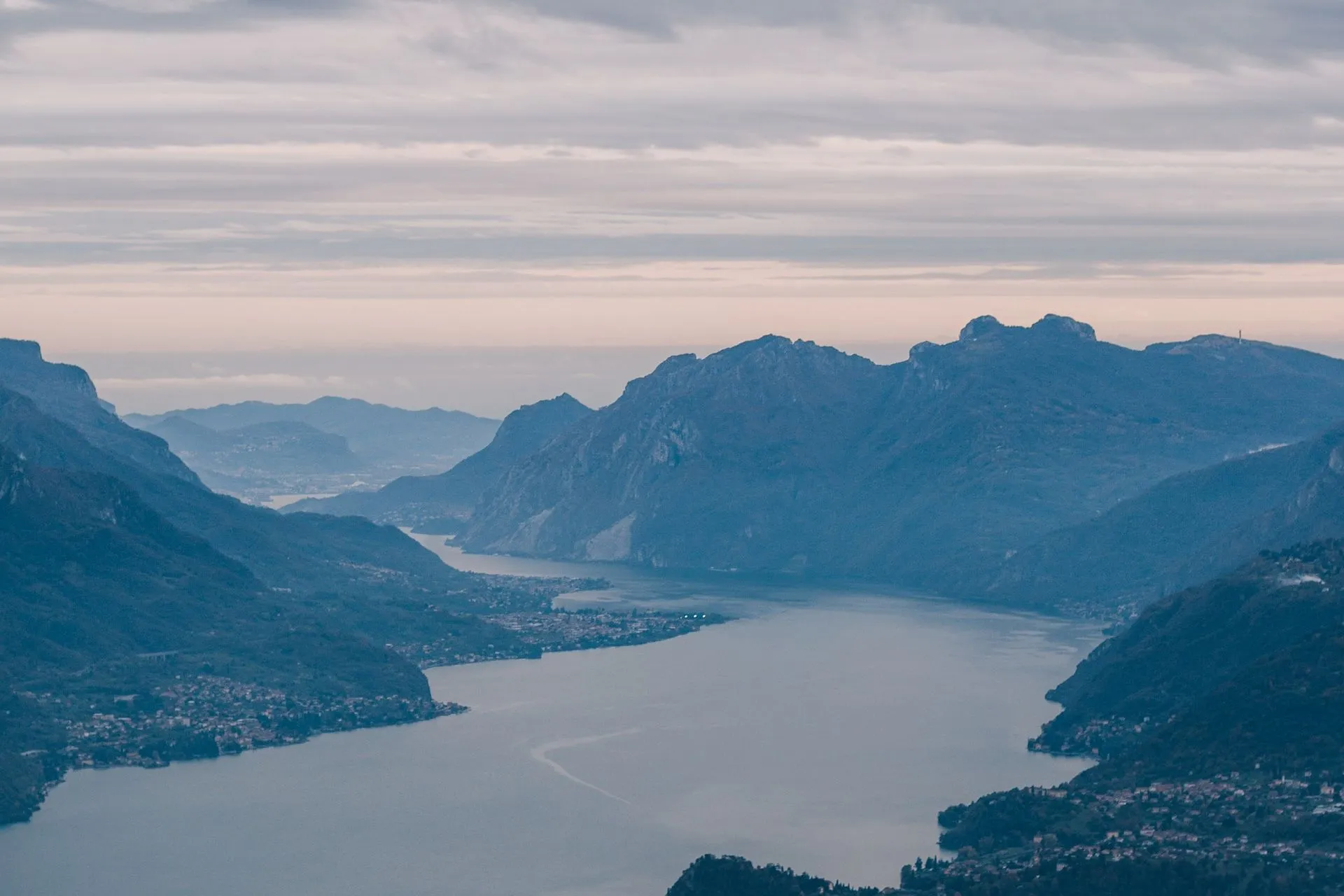
From the summit of Monte Barro, you can admire a breathtaking panorama. Starting from the west, you can see the profiles of Cornizzolo and Moregallo, also observing the Corni di Canzo. To the north, you find Lake Como and part of the Resegone. To the east, you can observe the Grignetta or Monte Due Mani.
Meeters has considerable experience in recommending the best places for walks; part of the platform’s core mission is to provide the necessary information to participate in group activities of various kinds.
Whether it’s nature activities or sports, those who join Meeters have the opportunity to discover new places and make new friends.
With this in mind, let’s put on the right shoes, look for a pair of trekking poles in the closet, and get ready to climb gently one of the most approachable peaks above Lake Como. How Many Trails Are There on Monte Barro?
Despite its limited size, Monte Barro Natural Park offers several trails and possible routes. There are seven possible loop paths that allow a hiker to explore different aspects of the park in one go. The trails themselves number about 12, with walking times ranging from one hour to nearly three, depending on your level of fitness.
The loops are very interesting because they not only offer potentially splendid views but also historical or religious ruins. Within Monte Barro Park, there are remains of a fortified settlement dating back to the Gothic era (5th and 6th centuries AD). Another monument of interest, this time religious, is the Sagra Settembrina: an unfinished church dedicated to the Archangel dating directly from the seventeenth century.
All the trails mentioned in this article are intended to be walked on foot. Each trail starts from one of the nine municipalities surrounding Monte Barro. These municipalities are Galbiate, Camporeso,
All the trails mentioned in this article are intended to be walked on foot. Each of these trails starts from one of the nine municipalities surrounding Monte Barro. These municipalities are Galbiate, Camporeso, Ponte Azzone Visconti, Malgrate, Valmadrera, Sala al Barro, San Michele, and Pescate. Let’s try to understand which are the most interesting trails to hike.
Trail 303
Of all the trails leading to Monte Barro, this is the shortest. This trail starts from Camporeso and reaches a maximum altitude of 600 meters, well below the summit of the small mountain.
The most interesting feature of Trail 303 is the presence of the Archaeological Park, a perfect place for those who want to savor a bit of history.
To reach the Archaeological Park, however, it is necessary to connect with Trail 301. The fact that the trail starts from Camporeso is also appreciated given the beauty of the small medieval core where you can also find the Ethnographic Museum of Alta Brianza.
To reach the Archaeological Park, however, it is necessary to take trail 301. The fact that the trail starts from Camporeso is also welcome given the beauty of the small medieval core where you can also find the Ethnographic Museum of Alta Brianza.

This is the longest trail of all those leading to Monte Barro. Trail 301 starts in Galbiate and represents the ancient
middle trail which was already known in the maps of the Teresian Cadastre. The trail essentially forms the perimeter loop of the park and is mostly flat. Even walking this trail brings you into contact with the archaeological park present on the mountain. which was already known within the maps of the Teresian Cadastre. Essentially, the trail forms the perimeter loop of the park and is mostly flat. Even walking this trail brings you into contact with the archaeological park present on the mountain.
This trail has the greatest elevation gain of all, starting from 202 meters to reach the summit at 922 meters. The trail starts near Ponte Azzone Visconti, one of the most important monuments of the city, and is well marked with signs. From here, you can reach the summit in about two hours, but be mindful of the effort. The trail is quite steep and, above all, very exposed to the sun. However, all the effort is rewarded by a series of extremely beautiful panoramas that will help you keep going step by step.
This trail has the most significant elevation gain of all, starting from 202 meters to reach the summit at 922 meters. The trailhead is located at the Azzone Visconti bridge, one of the city's most important monuments, and is well marked with signs. From here, it takes about two hours to reach the summit, but be mindful of the effort. The trail is quite steep and, above all, very exposed to the sun. However, all the effort is rewarded by a series of stunning panoramas that will help you keep going step by step.
Trail 311 starts from the municipality of Sala al Barro and leads to the archaeological park in just over an hour. The trail has about 400 meters of elevation gain and passes through the localities of Marée, Coera, Migliorate, Scaletta, Vinargino, reaching Trail 306. Essentially, this is an ascent on the southern side of the mountain, almost touching the territory of Camporeso. Climbing enthusiasts will be pleased to know that this trail crosses the climbing crag of Monte Barro.
Trail 311 is the path that, starting from the municipality of Sala al Barro, leads to the archaeological park in just over an hour. The trail has about 400 meters of elevation gain and passes through the localities of Marée, Coera, Migliorate, Scaletta, Vinargino, reaching trail 306. This is essentially an ascent on the southern side of the mountain, almost touching the territory of Camporeso. Climbing enthusiasts will be pleased to know that this trail crosses the Monte Barro climbing crag.
This small loop starts and returns from San Michele in about 40 minutes. The trail has an elevation gain of only 95 meters and is suitable even for those less accustomed to walking. The most interesting feature of this trail is the Pian Sciresa plateau, comfortably reachable in about twenty minutes from San Michele, making it a perfect spot for a relaxed outing.
This small loop starts and returns from San Michele in about 40 minutes. The trail has an elevation gain of only 95 meters and is suitable even for those less accustomed to walking. The most interesting feature of this trail is the Pian Sciresa plateau, easily reachable in about twenty minutes from San Michele, which represents a perfect spot for a comfortable picnic.