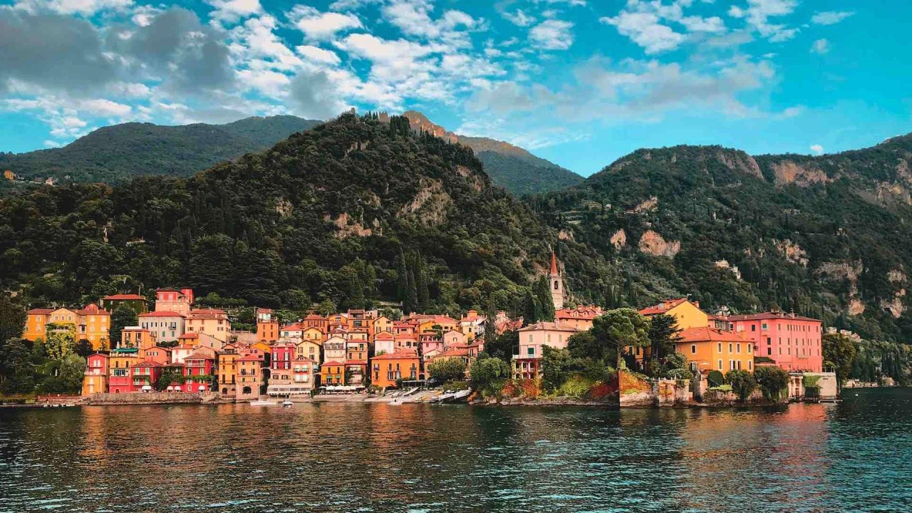
Ducal Road, Royal Road, Napoleonic Road, or more commonly: the Wayfarer's Path: this is the name of a trail that follows the eastern shore of Lake Como, skirting the water from Abbadia to Colico, crossing mountains and offering new views at every step. This staged trek follows the eastern shore of Lake Como with comfortable roads but also steep trails or steeper mule tracks.
Why Is This Path So Talked About?
Because it is one of Italy’s oldest hiking routes, with roots stretching back centuries, and because it has nurtured generations of walkers in one of Italy’s most beautiful areas.
At Meeters, we have considerable experience with trails and paths and for this reason, we are here to explain everything you need to fully enjoy the trail.
Whether you tackle the path solo or with friends, perhaps for a great group trek, the important thing is to use your free time to explore all the beautiful things our country and cities have to offer.
That said, let’s take a closer look at the Wayfarer's Path.
What Is the Wayfarer's Path?
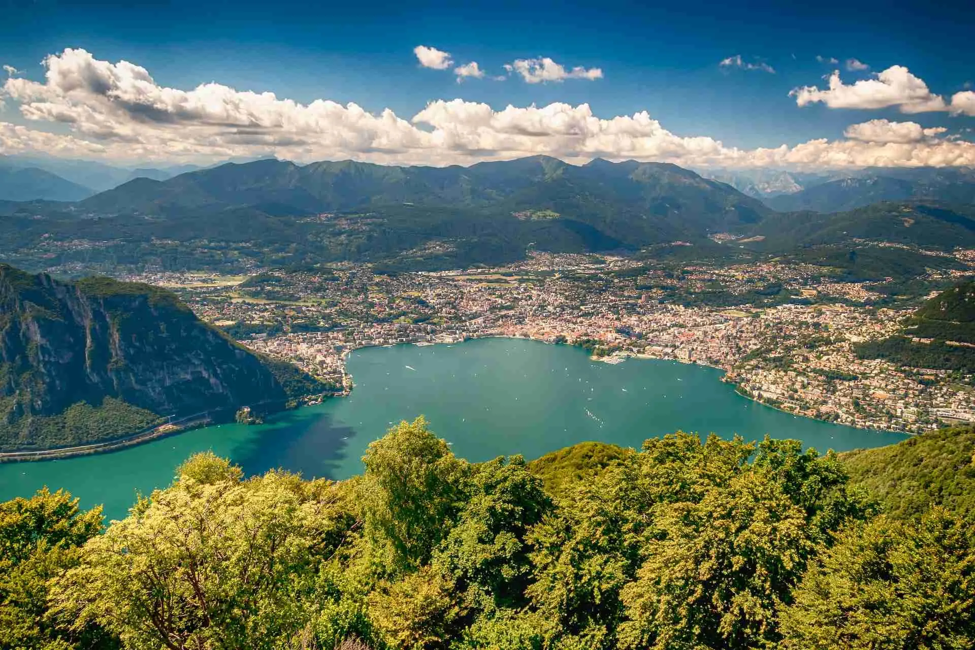
The name Wayfarer's Path refers to an ancient route starting from Lecco and reaching Colico, serving as a link between the old Leonardo trail and the Via Francisca and Via Spluga.
The Wayfarer's Path is 49.1 kilometers long, divided into 5 stages of varying lengths, all characterized by roads and trails along the eastern shore of Lake Como. The highest altitude reached along the trail is 800 meters.
Among the places touched by the Wayfarer's Path are several tourist villages, some of the most famous and talked-about in the Lake Como basin: these include Abbadia Lariana, Varenna, Bellano, and Dervio, with mills, silk factories, towers, walls, and various ruined buildings in between.
Essentially, starting from the center of Milan, it is possible to reach the small village of Splugen on foot over a long 195-kilometer route, combining the Leonardo trail, the Wayfarer's Path, and the Via Francisca and Via Spluga.
What Are the Most Important Stages of the Wayfarer's Path?
Now we come to one of the most common questions: into how many stages can the path be divided?
In general, the division between the stages is as follows:
- From Lecco to Abbadia Lariana, a 7.1 km route.
- From Abbadia Lariana to Lierna, a 10.5 km route.
- From Lierna to Varenna, an 8.9 km route.
- From Varenna to Dervio, a 9.8 km route.
- From Dervio to Colico, a 12.8 km route.
Each stage includes some ups and downs, and the terrain is generally uneven regardless of which stage you choose. The difficulty remains very low, as the Wayfarer's Path is truly accessible to almost everyone.

The only issues may arise in case of heavy rain, which creates slippery surfaces (unfortunately often leading to nasty falls).
In any case, less fit people can use public transport to move from one point to another, thanks also to the railway line, buses, and boats available.
Which Is the Most Challenging Stage on the Wayfarer's Path?
The most difficult stage of the Wayfarer's Path is undoubtedly the one from Lierna to Varenna.
Is There a Passport to Get Stamped Each Time?
Walking enthusiasts will be pleased to know that the Wayfarer's Path offers a passport that can be collected and stamped at each stage. This Wayfarer's passport was created thanks to efforts promoted by public bodies involved in revitalizing the Wayfarer's Routes and is a must-have for anyone wanting to complete the entire path, even over several days.
The passport can be collected at the official Wayfarer's Routes info point; this info point is located inside the tourist information office of Lecco, at Piazza XX Settembre inside the Palazzo delle Paure. The tourist office can be contacted by phone at 0341 295 720 on weekdays.
There are also other distribution points for the Wayfarer's passport: here you can find the complete list of locations.
When Is the Best Time to Start Along the Wayfarer's Path?
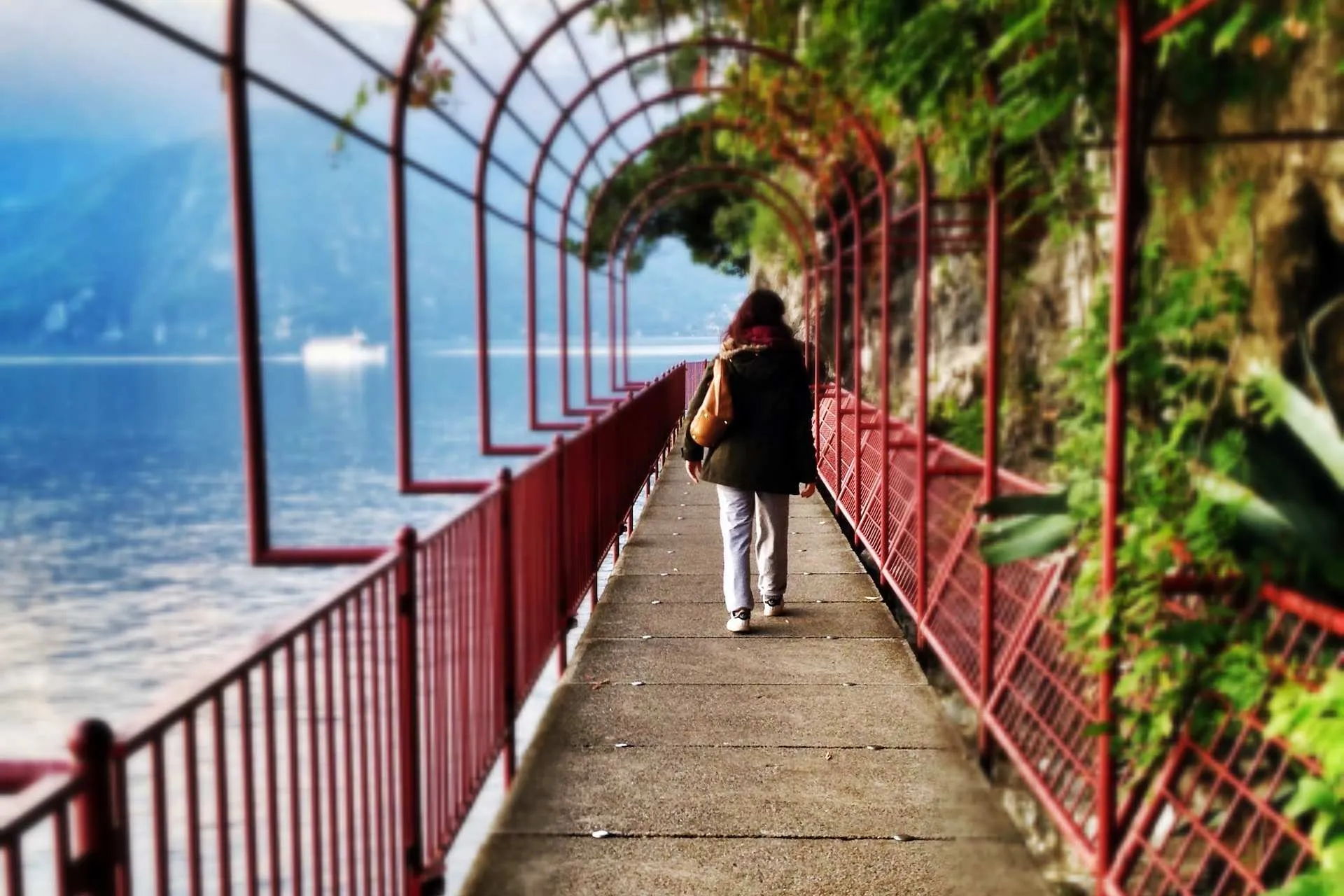
The particular location of the Wayfarer's Path makes it possible to walk it throughout the year, helped by the low altitudes of the various stages.
This means that both winter and summer allow the route to be traversed from start to finish, provided you dress in layers or bring waterproof clothing.
Spring and autumn are generally the best times to tackle the route, thanks to mild temperatures and the pleasant atmosphere. Not all of the path is shaded, so walking it in summer, especially with the very high temperatures of recent years, might not be the best choice for personal health.
What Signs Should You Follow to Enjoy the Route?
To allow anyone to follow the route as they wish, the creators of the Wayfarer's Routes project have placed white and blue adhesive markers on the ground, enabling anyone to orient themselves along the path in both directions.
The History of the Wayfarer's Path
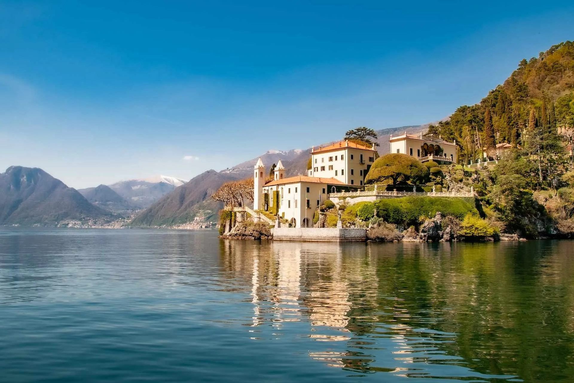
It seems the Wayfarer's Path has a rather unique history that does not involve armies that over the centuries have created many of today’s roads.
The Wayfarer's Path is rather a daily route, used by locals for trade and work.
A true scar on the earth that connects the lake world with that of the mountainswith curves, bends, climbs, and descents surrounded by a wonderful panorama.